

How Big Is West Virginia?
West Virginia is the 41st largest state in the United States, covering approximately 62,361 square kilometers (24,078 square miles). It is home to approximately 1.9 million people. That's about 1.5 times the size of Netherlands.
West Virginia
vs
West Virginia on the Map
West Virginia's Geography
Within the United States, West Virginia is the 41st largest state in the United States. Its capital is Charleston. It has a population density of about 30 people per km².
How Far Across Is West Virginia?
West Virginia stretches approximately 382 km (237 mi) from north to south — roughly the distance from Los Angeles to Las Vegas, and 424 km (263 mi) from east to west — roughly the distance from Boston to Philadelphia. At highway speeds, it would take roughly 5 hours to drive across.
How Many Times Does West Virginia Fit?
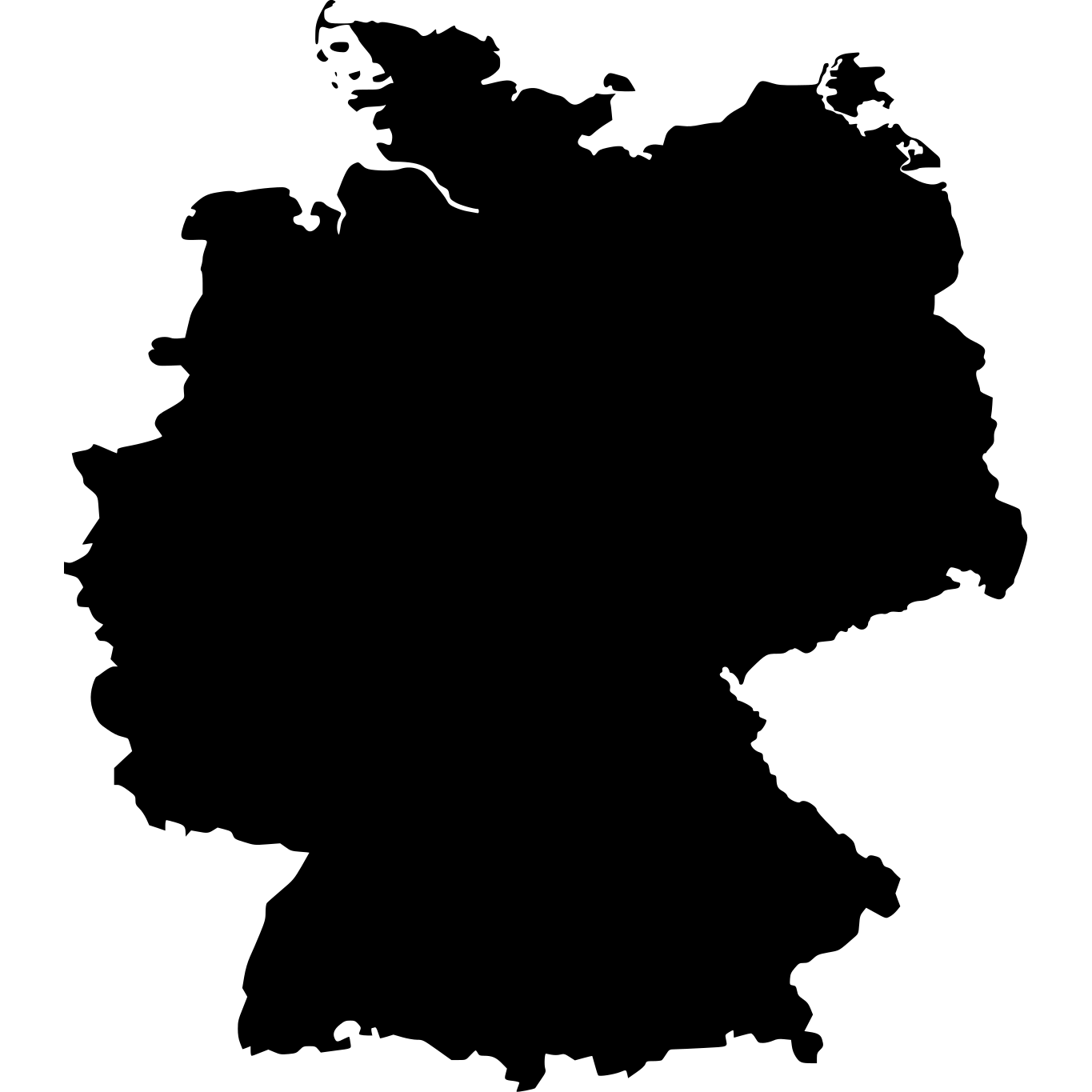

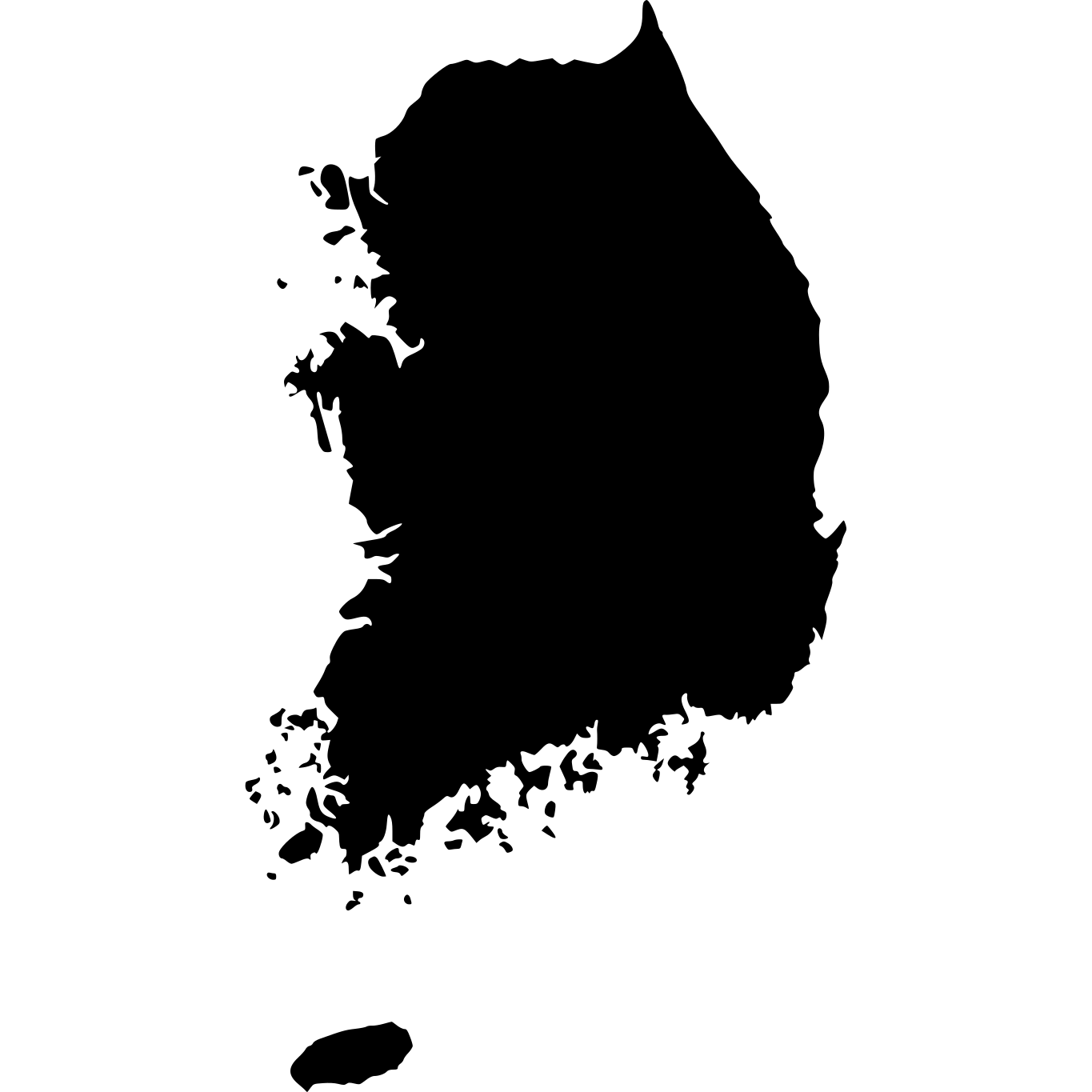

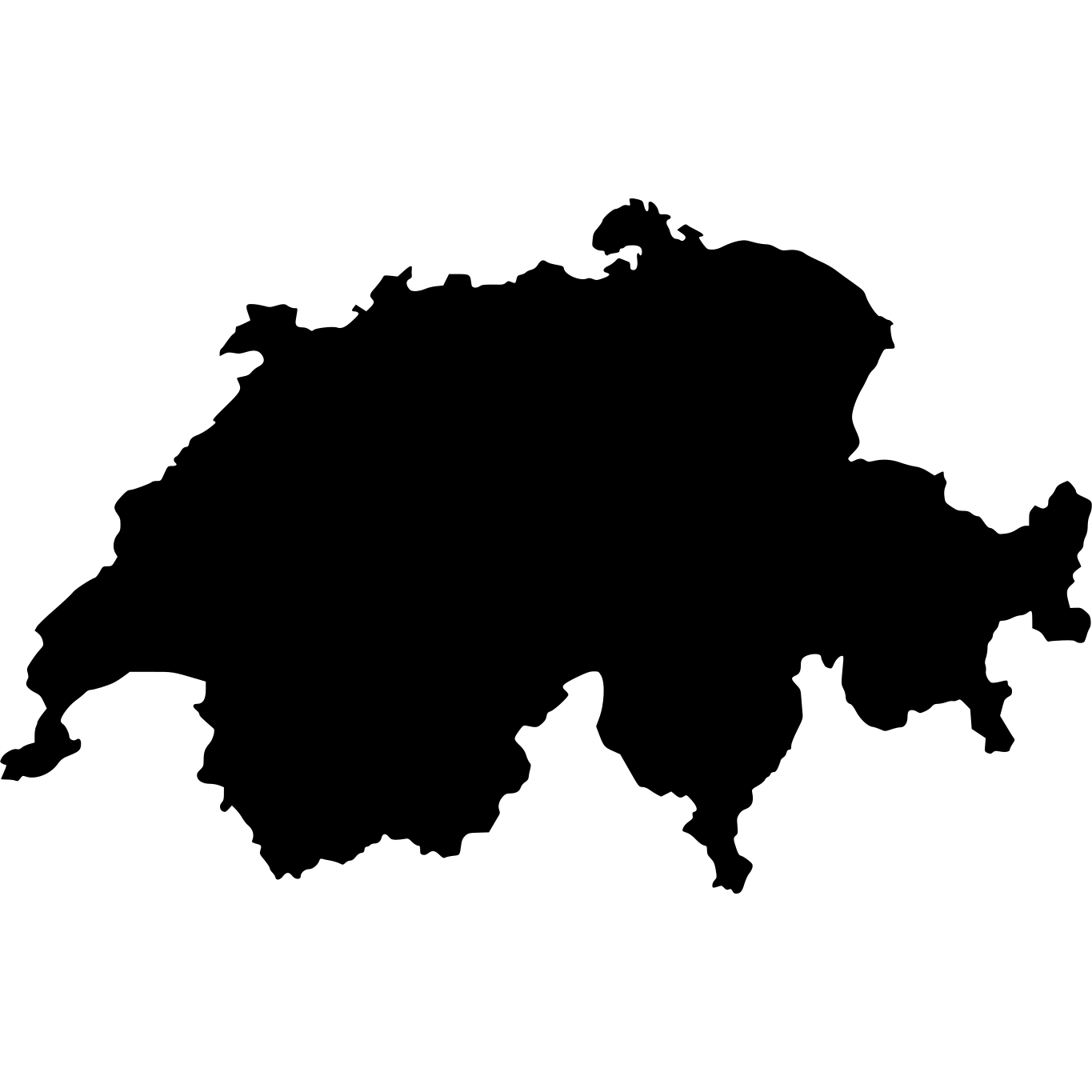

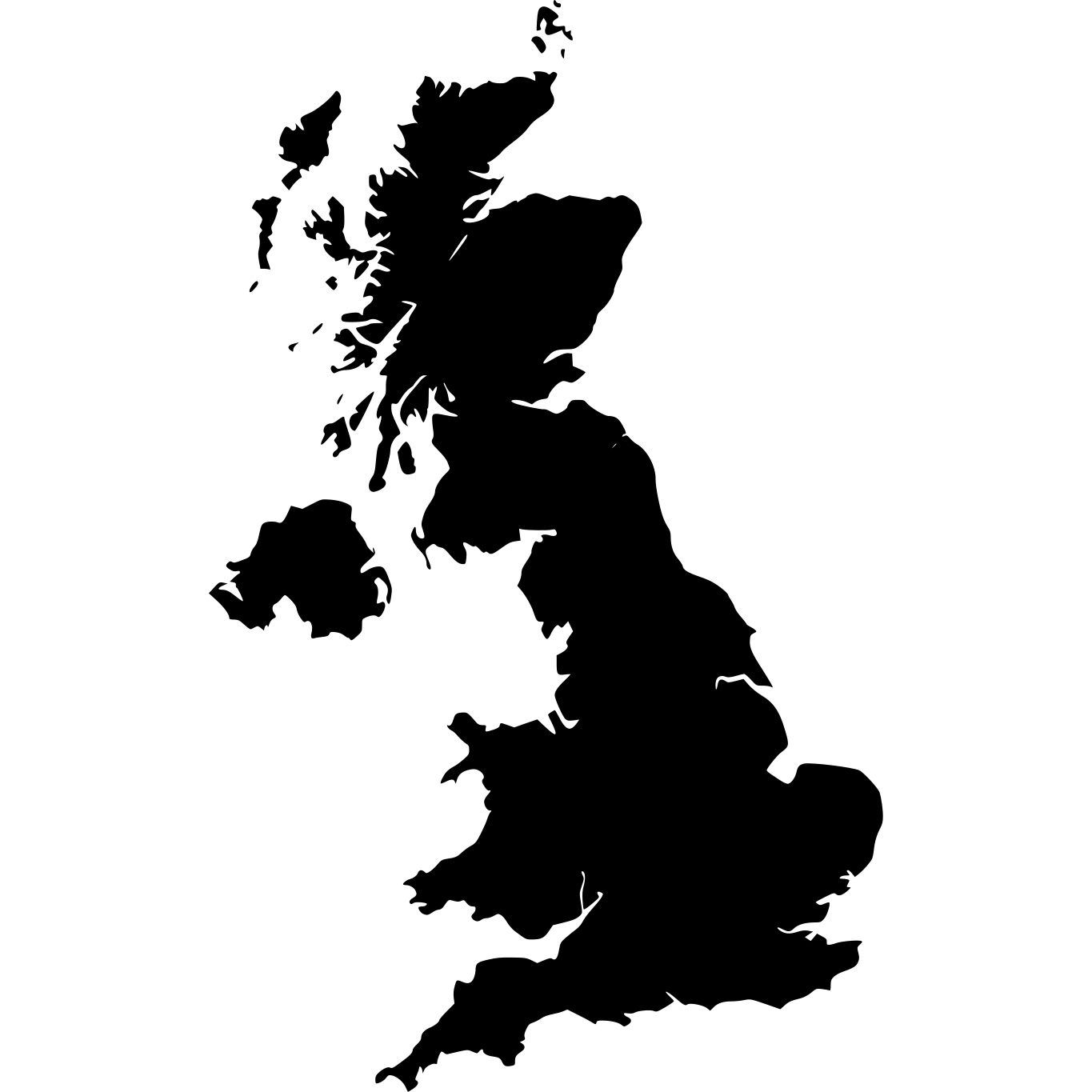

Similar in Size


How Big Is West Virginia Compared to Well-Known Places?
| Place | Area | vs West Virginia |
|---|---|---|
| Rhode Island | 2,706 km² (1,045 sq mi) | 23× smaller |
| Belgium | 30,528 km² (11,787 sq mi) | 2× smaller |
| Switzerland | 41,277 km² (15,937 sq mi) | 34% smaller |
| Netherlands | 41,543 km² (16,040 sq mi) | 33% smaller |
| West Virginia | 62,361 km² (24,078 sq mi) | — |
| South Korea | 99,720 km² (38,502 sq mi) | 60% larger |
| New York | 122,283 km² (47,214 sq mi) | 96% larger |
| Florida | 139,670 km² (53,927 sq mi) | 2.2× larger |
| United Kingdom | 243,610 km² (94,058 sq mi) | 3.9× larger |
Explore West Virginia
West Virginia at a Glance
| Statistic | Value |
|---|---|
| Total Area | 62,361 km² (24,078 sq mi) |
| US Size Rank | #41 of 51 |
| Capital | Charleston |
| Population | 1,852,994 |
| Population Density | 30 per km² |