


How Big Is Missouri?
Missouri is the 19th largest state in the United States, covering approximately 178,414 square kilometers (68,886 square miles). It is home to approximately 6.3 million people. That's about 1.3 times the size of Florida.
Missouri
vs
Missouri on the Map
Missouri's Geography
Within the United States, Missouri is the 19th largest state. It has a population density of about 35 people per km².
How Long and Wide Is Missouri?
Missouri spans about 579 km (360 mi) from east to west — roughly the distance from Paris to Berlin, and 513 km (319 mi) from north to south — roughly the distance from Dallas to Houston. At highway speeds, driving 360 miles takes roughly 6 hours.
How Many Times Does Missouri Fit?
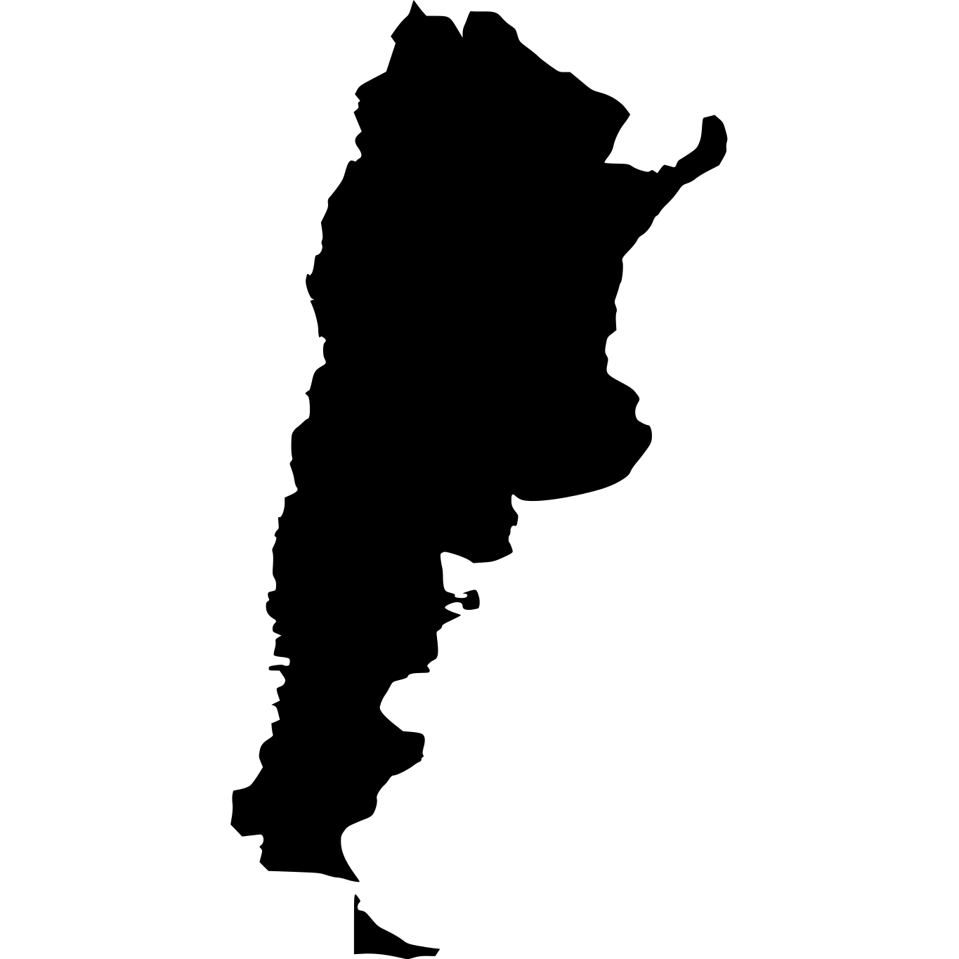


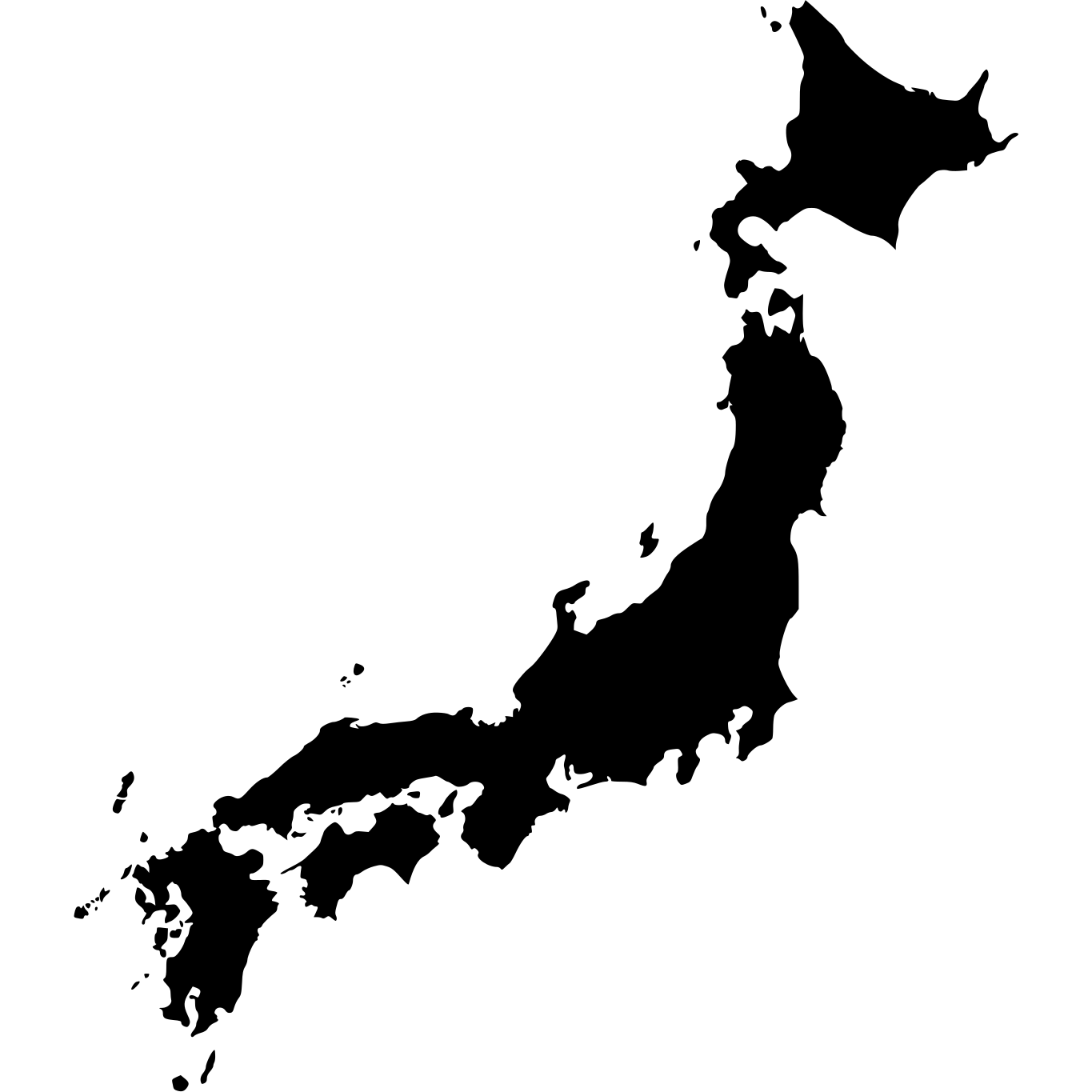
Similar in Size
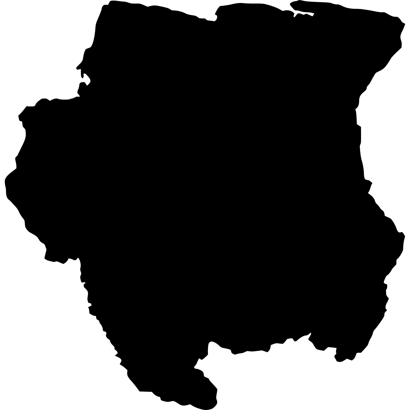
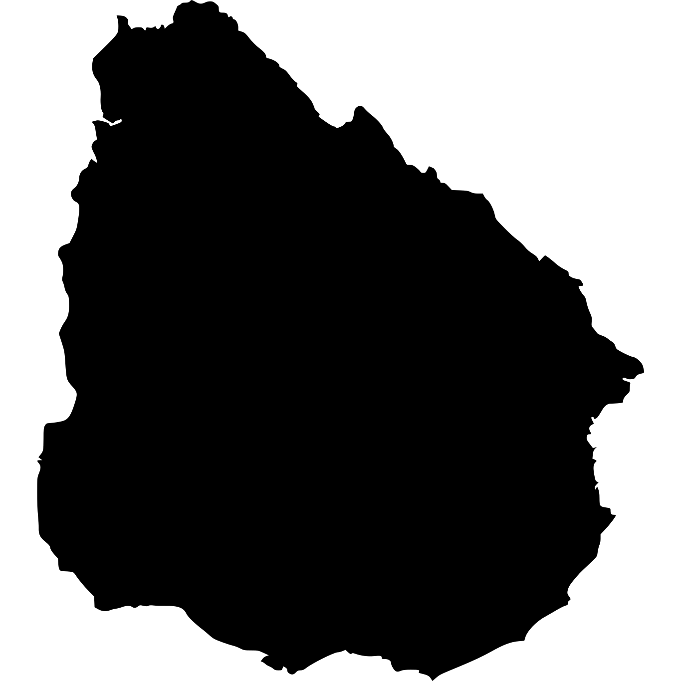


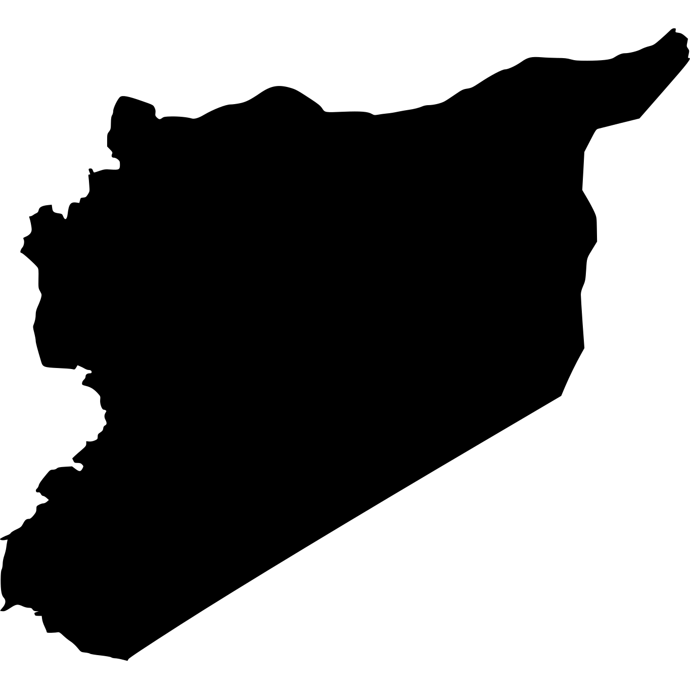

How Big Is Missouri Compared to Well-Known Places?
| Place | Area | vs Missouri |
|---|---|---|
| Netherlands | 41,543 km² (16,040 sq mi) | 4.3× smaller |
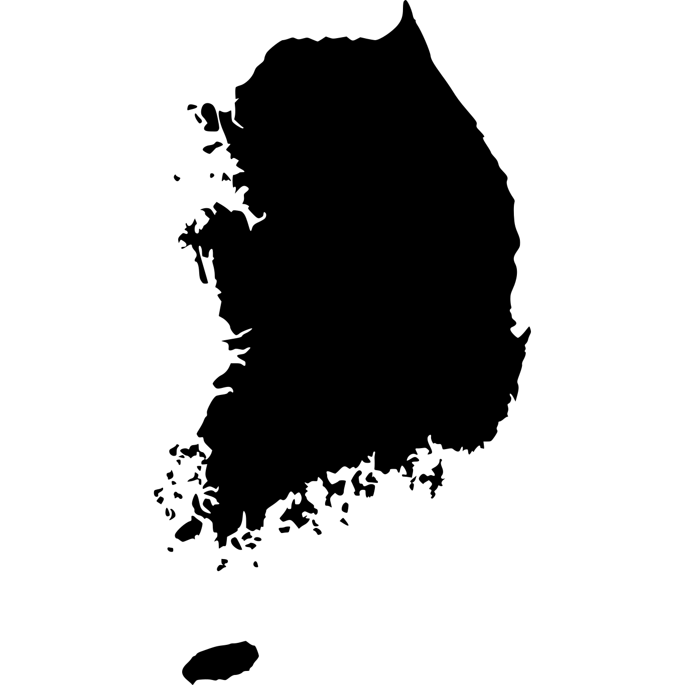
| South Korea | 99,720 km² (38,502 sq mi) | 44% smaller |
| New York | 122,283 km² (47,214 sq mi) | 31% smaller |
| Florida | 139,670 km² (53,927 sq mi) | 22% smaller |
| Missouri | 178,414 km² (68,886 sq mi) | — |
| United Kingdom | 243,610 km² (94,058 sq mi) | 37% larger |
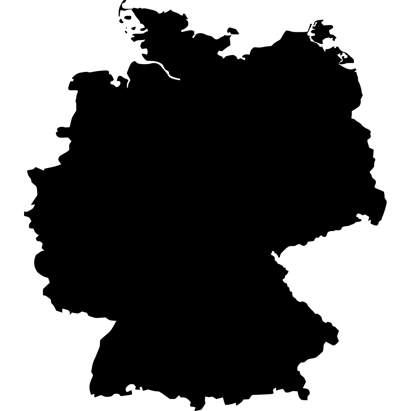
| Germany | 357,022 km² (137,847 sq mi) | 2× larger |
| Montana | 376,979 km² (145,552 sq mi) | 2.1× larger |
| Japan | 377,915 km² (145,914 sq mi) | 2.1× larger |
Places in Missouri
Length and width are measured from the outline on the map. Sources: US Census Bureau (2025). How we calculate this
Explore Missouri
Missouri at a Glance
| Statistic | Value |
|---|---|
| Total Area | 178,414 km² (68,886 sq mi) |
| US Size Rank | #19 of 51 |
| Population | 6,270,541 |
| Population Density | 35 per km² |