

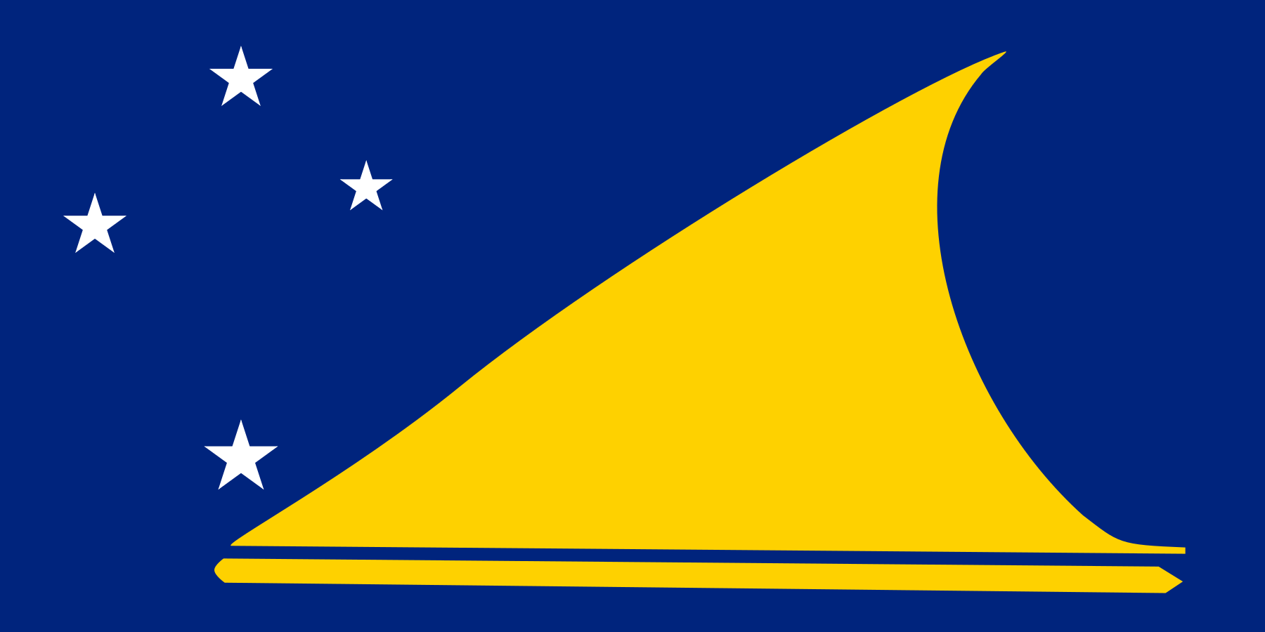
How Big Is Tokelau?
Tokelau, located in Australia-Oceania, is the 233rd largest country in the world, covering approximately 12 square kilometers (5 square miles). That's about 6.78% the size of District of Columbia. It is home to approximately 1,647 people.
Tokelau
vs
Tokelau on the Map
Tokelau's Geography
Tokelau has approximately 101 km of coastline. Within Australia, Tokelau is the 26th largest of 26 countries. With 137 people per km², it is more densely populated than the Oceanian average of 114 per km².
How Far Across Is Tokelau?
Tokelau stretches approximately 101 km (63 mi) from north to south — roughly the length of Long Island, and 147 km (91 mi) from east to west — roughly the distance from London to Bristol. At highway speeds, it would take roughly 2 hours to drive across.
How Many Times Does Tokelau Fit?


Similar in Size


How Big Is Tokelau Compared to Well-Known Places?
| Place | Area | vs Tokelau |
|---|---|---|
| Tokelau | 12 km² (5 sq mi) | — |
| Rhode Island | 2,706 km² (1,045 sq mi) | 226× larger |
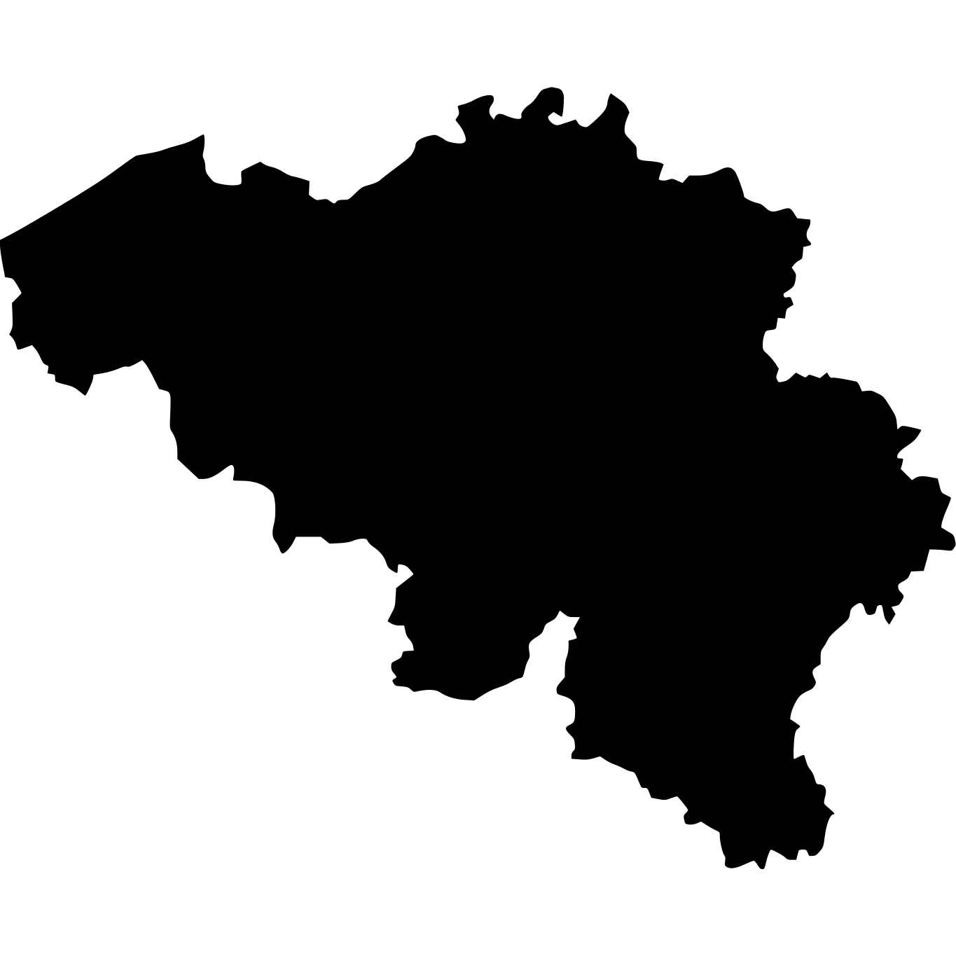
| Belgium | 30,528 km² (11,787 sq mi) | 2,544× larger |
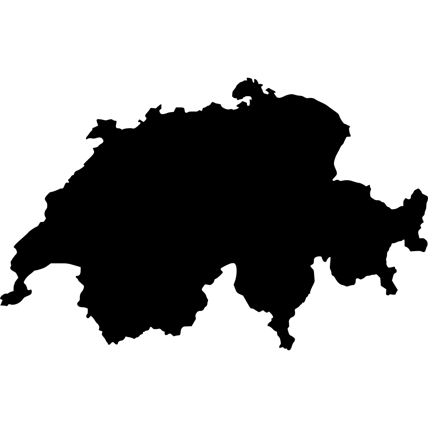
| Switzerland | 41,277 km² (15,937 sq mi) | 3,440× larger |
| Netherlands | 41,543 km² (16,040 sq mi) | 3,462× larger |
More Countries in Australia

Explore Tokelau
Tokelau at a Glance
| Statistic | Value |
|---|---|
| Total Area | 12 km² (5 sq mi) |
| World Size Rank | #233 of 236 |
| Population Density | 137 per km² |
| Population | 1,647 people |
| Coastline | 101 km |