

How Big Is Lebanon?
Lebanon, located in Middle East, is the 166th largest country in the world, covering approximately 10,400 square kilometers (4,015 square miles). That's about 82.88% the size of Connecticut. It is home to approximately 5.8 million people.
Lebanon
vs
Lebanon on the Map
Lebanon's Geography
Of its total area, 10,230 km² is land and 170 km² (1.6%) is water. Lebanon has approximately 225 km of coastline. Within Asia, Lebanon is the 45th largest of 52 countries, sitting between Qatar and Brunei. With 562 people per km², it is less densely populated than the Asian average of 1,006 per km².
How Far Across Is Lebanon?
Lebanon stretches approximately 183 km (114 mi) from north to south — roughly the length of Long Island, and 140 km (87 mi) from east to west — roughly the distance from London to Bristol. At highway speeds, it would take roughly 2 hours to drive across.
How Many Times Does Lebanon Fit?

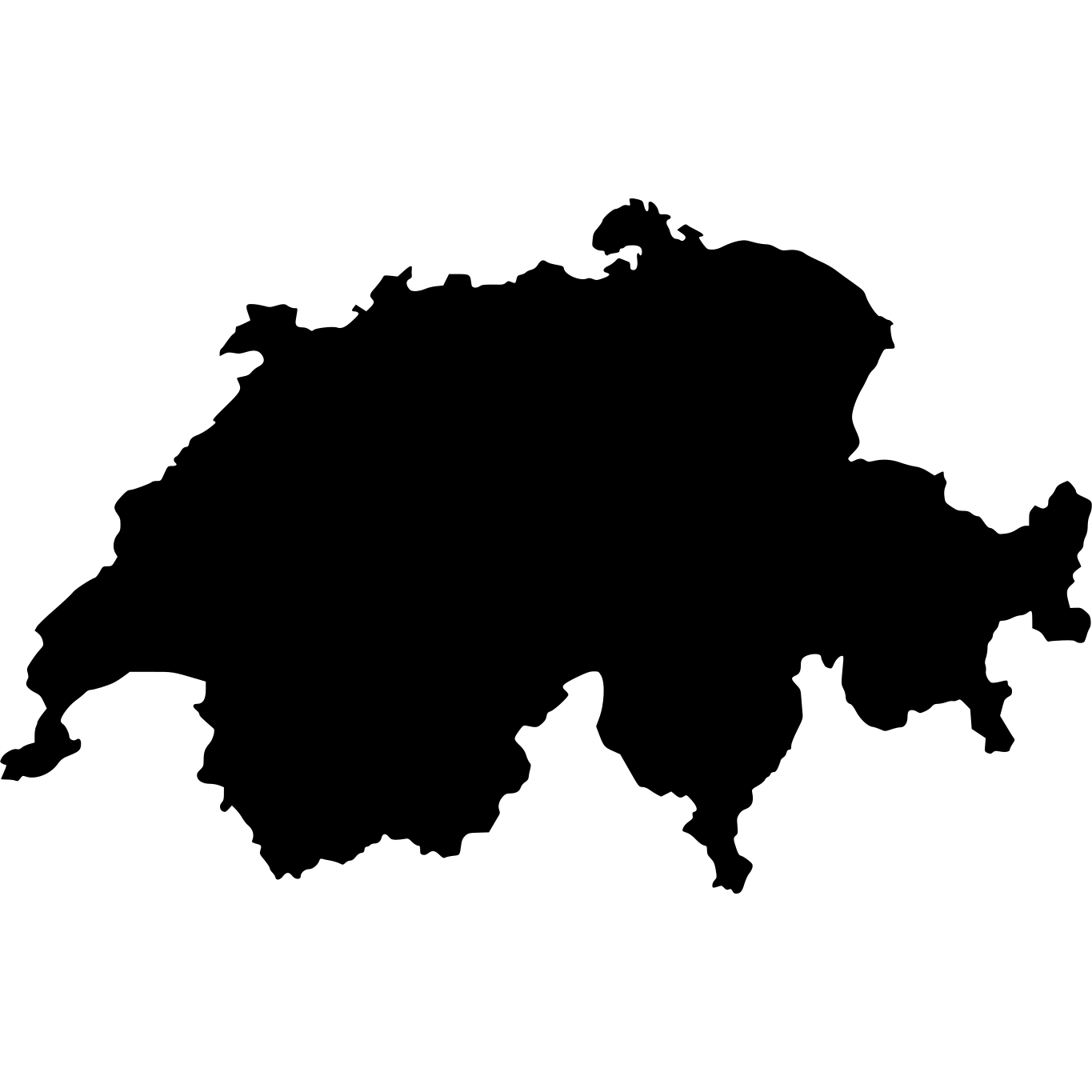

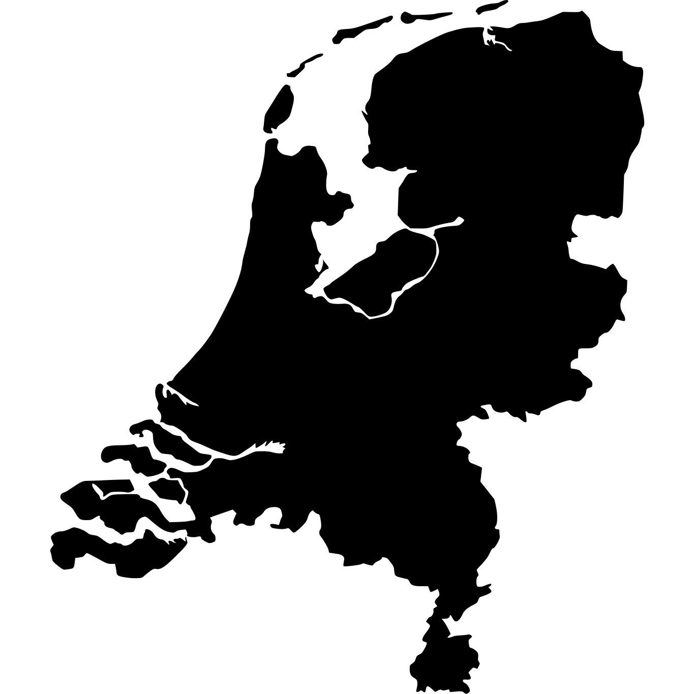

Similar in Size

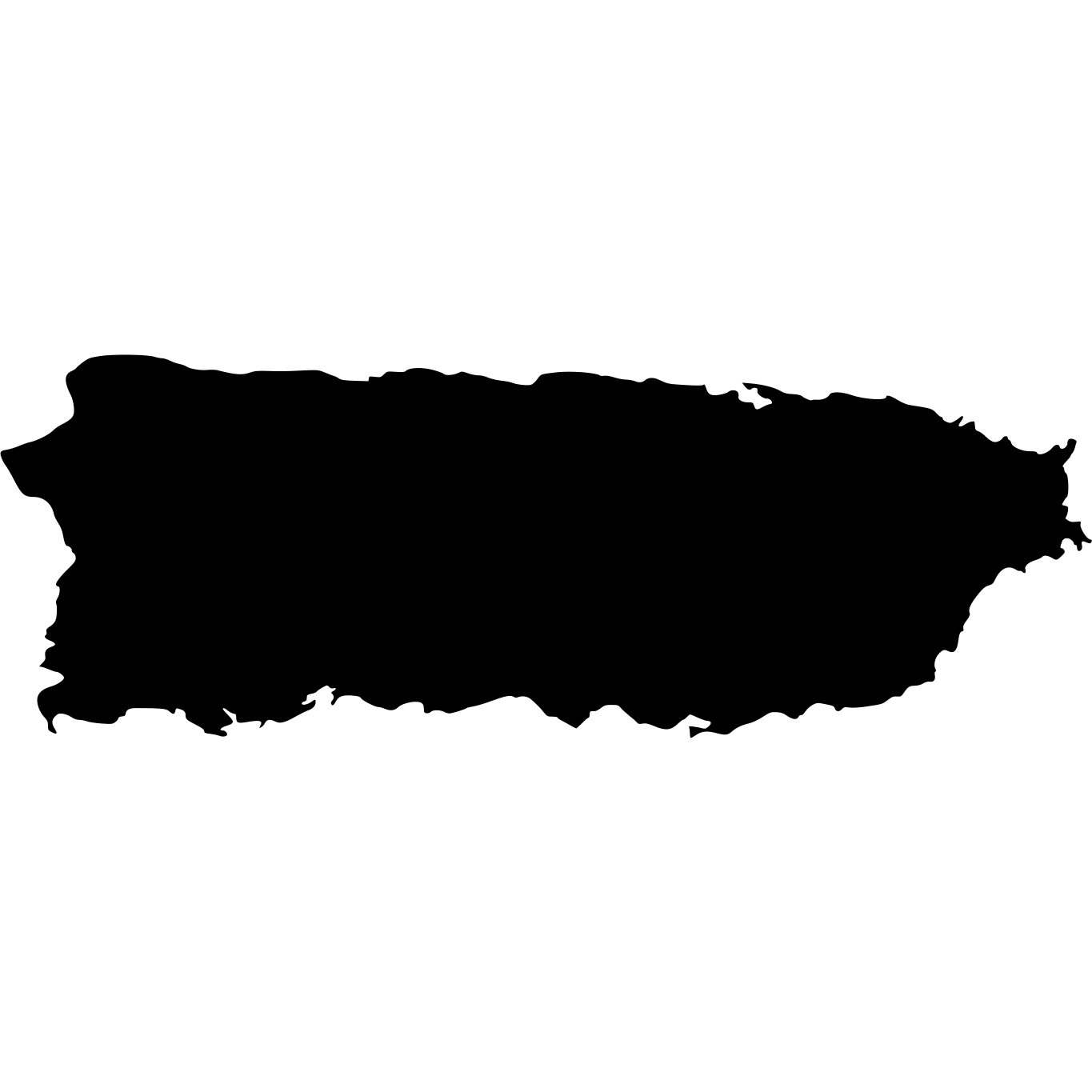

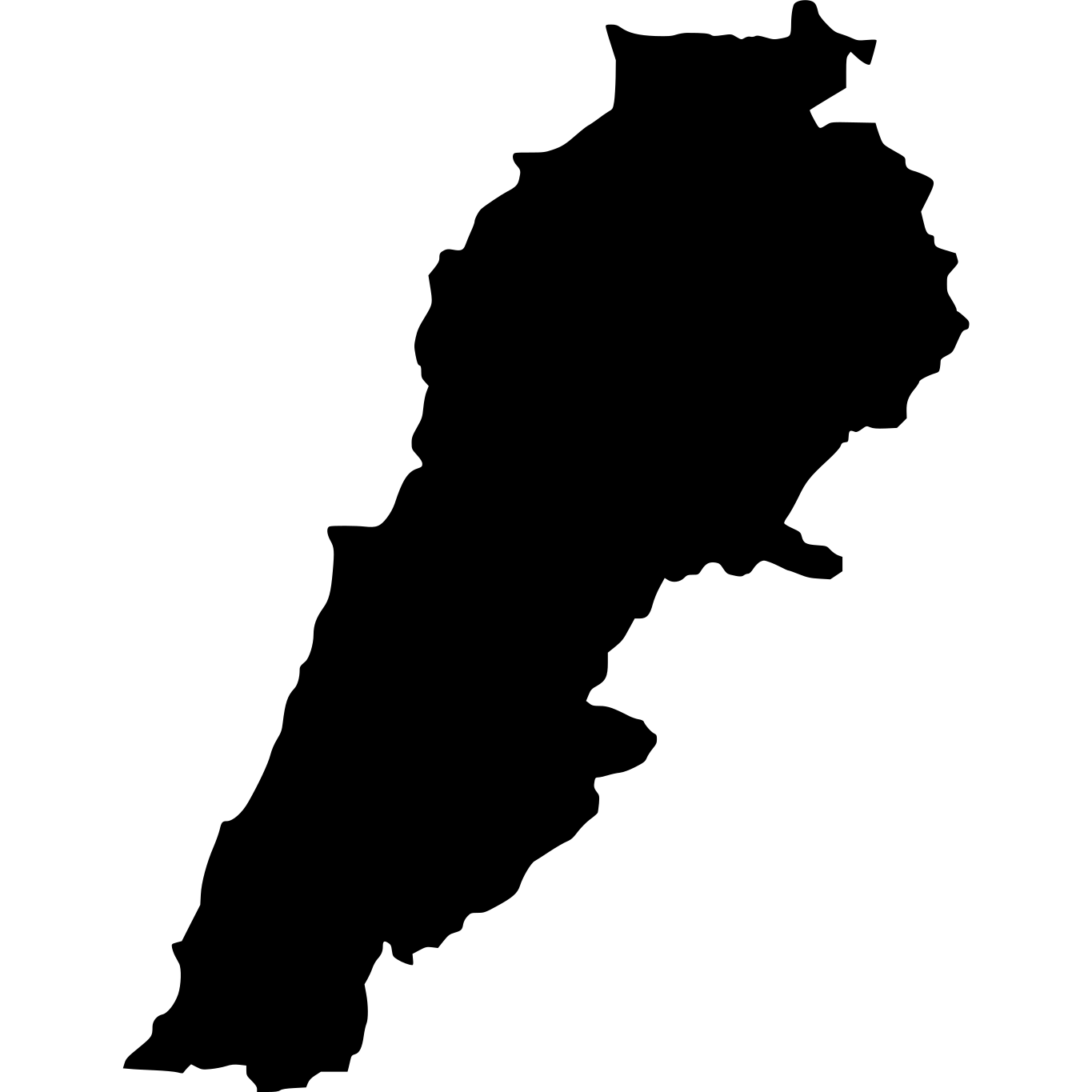


How Big Is Lebanon Compared to Well-Known Places?
| Place | Area | vs Lebanon |
|---|---|---|
| Rhode Island | 2,706 km² (1,045 sq mi) | 3.8× smaller |
| Lebanon | 10,400 km² (4,015 sq mi) | — |
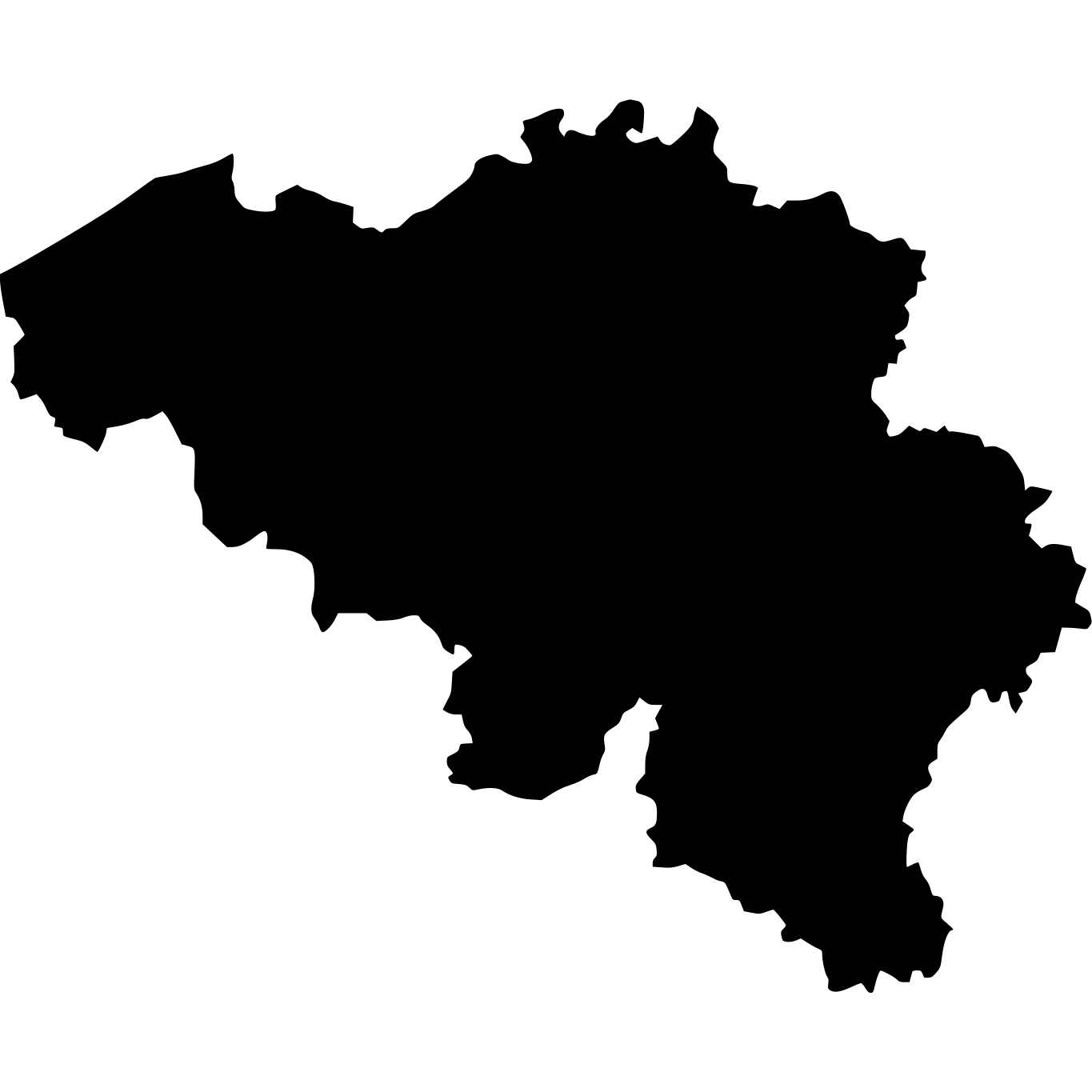
| Belgium | 30,528 km² (11,787 sq mi) | 2.9× larger |
| Switzerland | 41,277 km² (15,937 sq mi) | 4× larger |
| Netherlands | 41,543 km² (16,040 sq mi) | 4× larger |
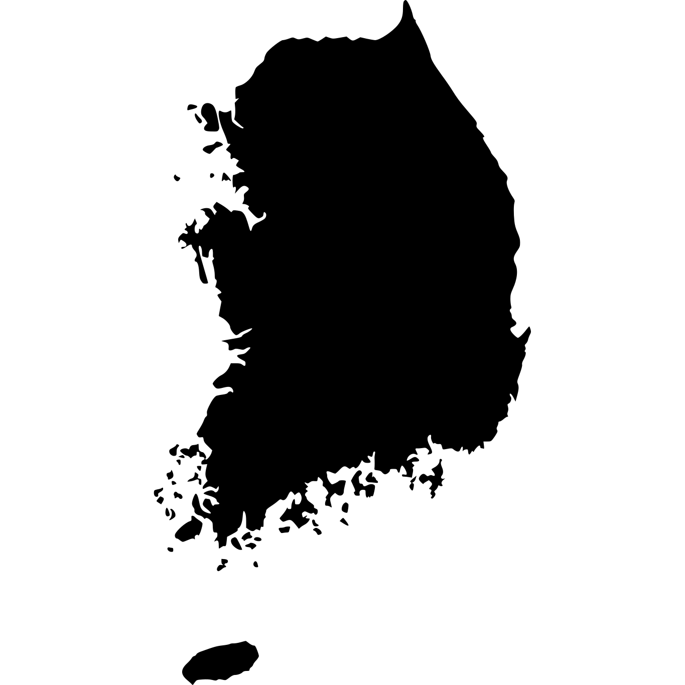
| South Korea | 99,720 km² (38,502 sq mi) | 10× larger |
More Countries in Asia




Explore Lebanon
Lebanon at a Glance
| Statistic | Value |
|---|---|
| Total Area | 10,400 km² (4,015 sq mi) |
| World Size Rank | #166 of 236 |
| Capital | Beirut |
| Population Density | 562 per km² |
| Population | 5.8 million people |
| Coastline | 225 km |
| Life Expectancy | 77.9 years |
| GDP per Capita | $4,473 USD |