


How Big Is Aruba?
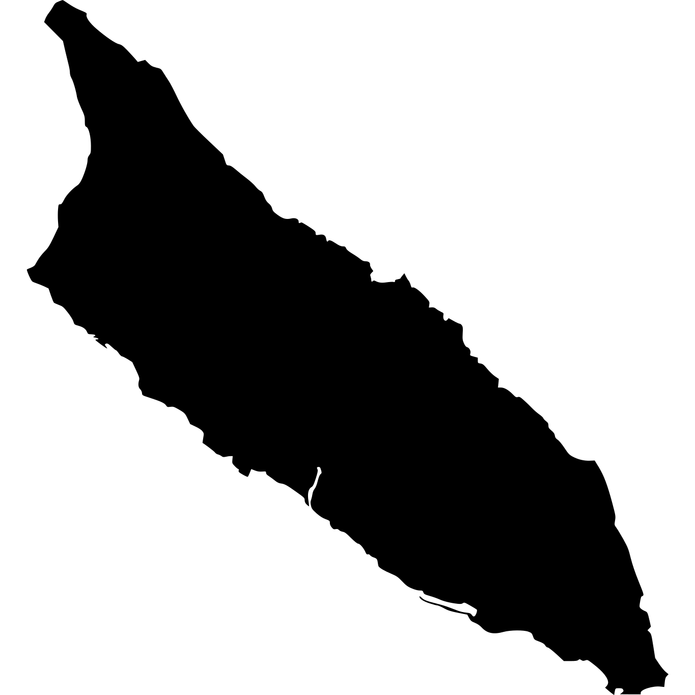
Aruba, located in Central America/Caribbean, is the 212th largest country in the world, covering approximately 180 square kilometers (69 square miles). That's roughly the same size as District of Columbia. It is home to approximately 108,785 people.
Aruba
vs
Aruba on the Map
Aruba's Geography
Aruba has approximately 69 km of coastline. Within North America, Aruba is the 30th largest of 36 countries, sitting between Saint Pierre and Miquelon and British Virgin Islands. With 604 people per km², it is more densely populated than the North American average of 225 per km².
How Far Across Is Aruba?
Aruba stretches approximately 23 km (14 mi) from north to south, and 20 km (12 mi) from east to west.
How Many Times Does Aruba Fit?
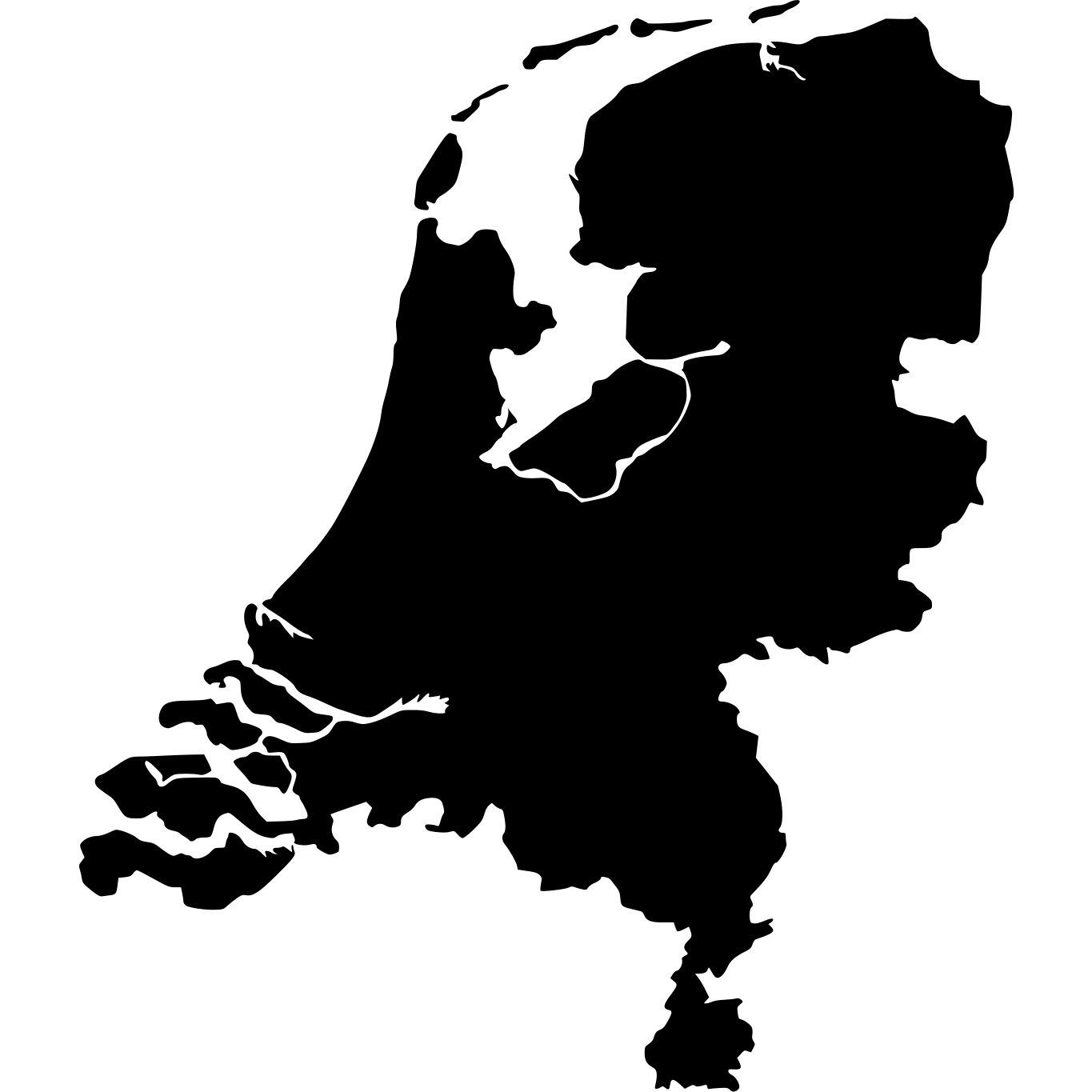

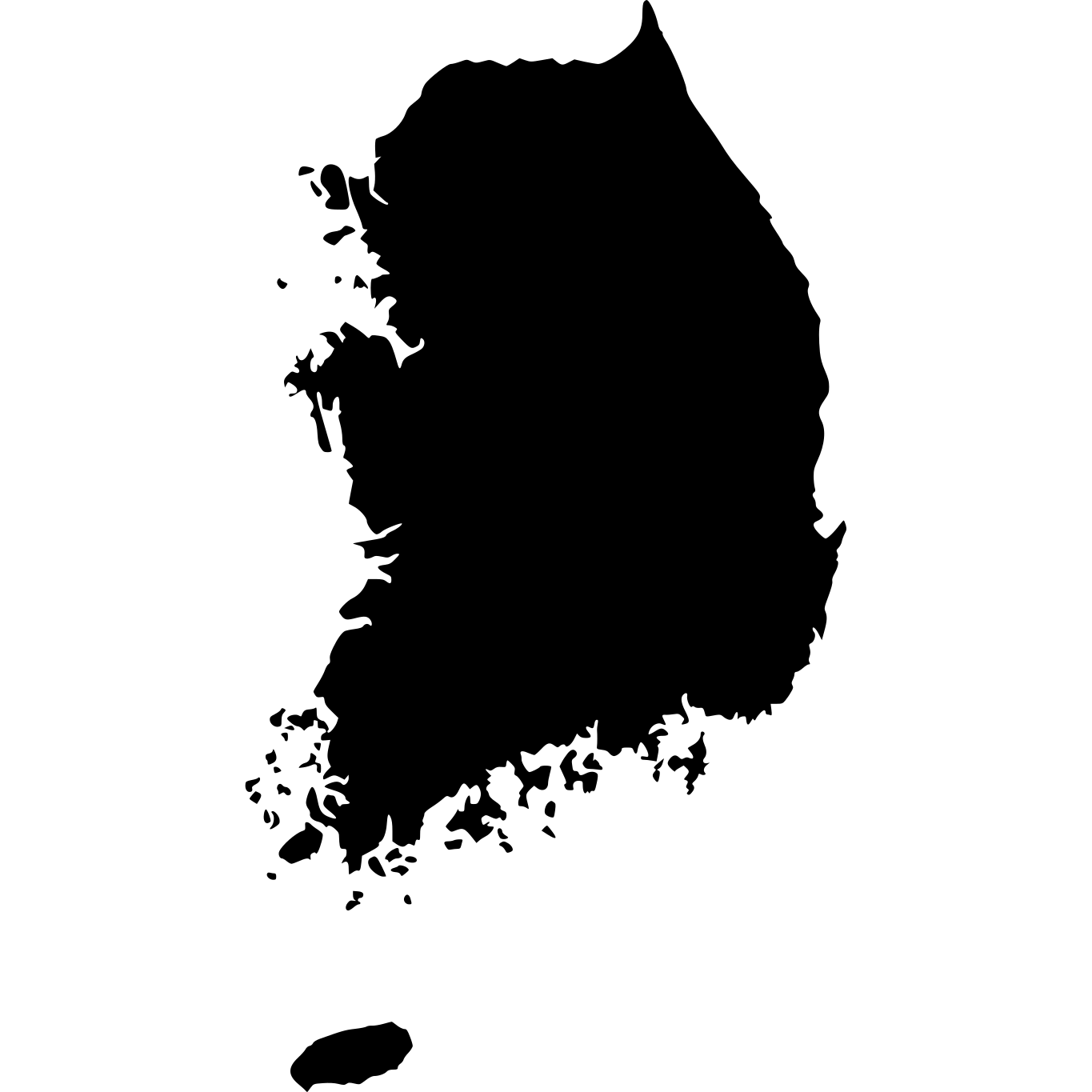

Similar in Size
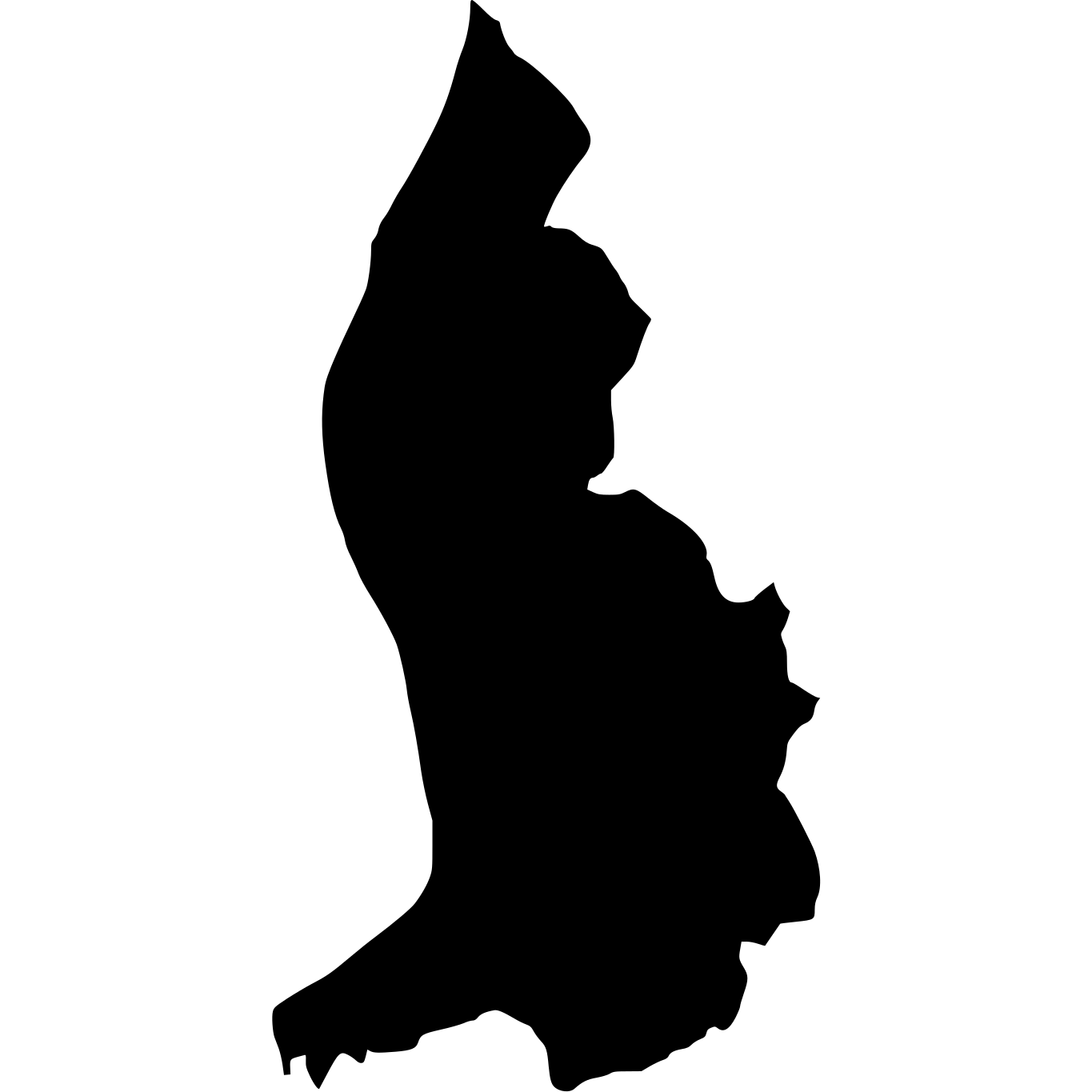

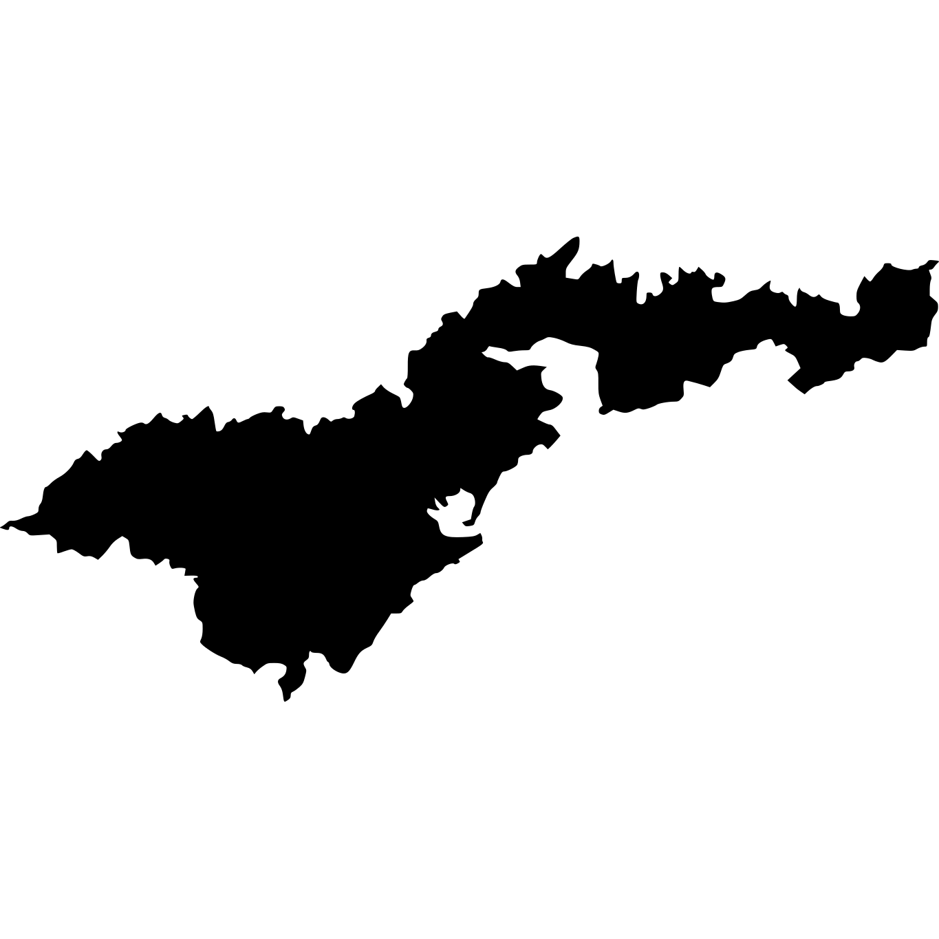


How Big Is Aruba Compared to Well-Known Places?
| Place | Area | vs Aruba |
|---|---|---|
| Aruba | 180 km² (69 sq mi) | — |
| Rhode Island | 2,706 km² (1,045 sq mi) | 15× larger |
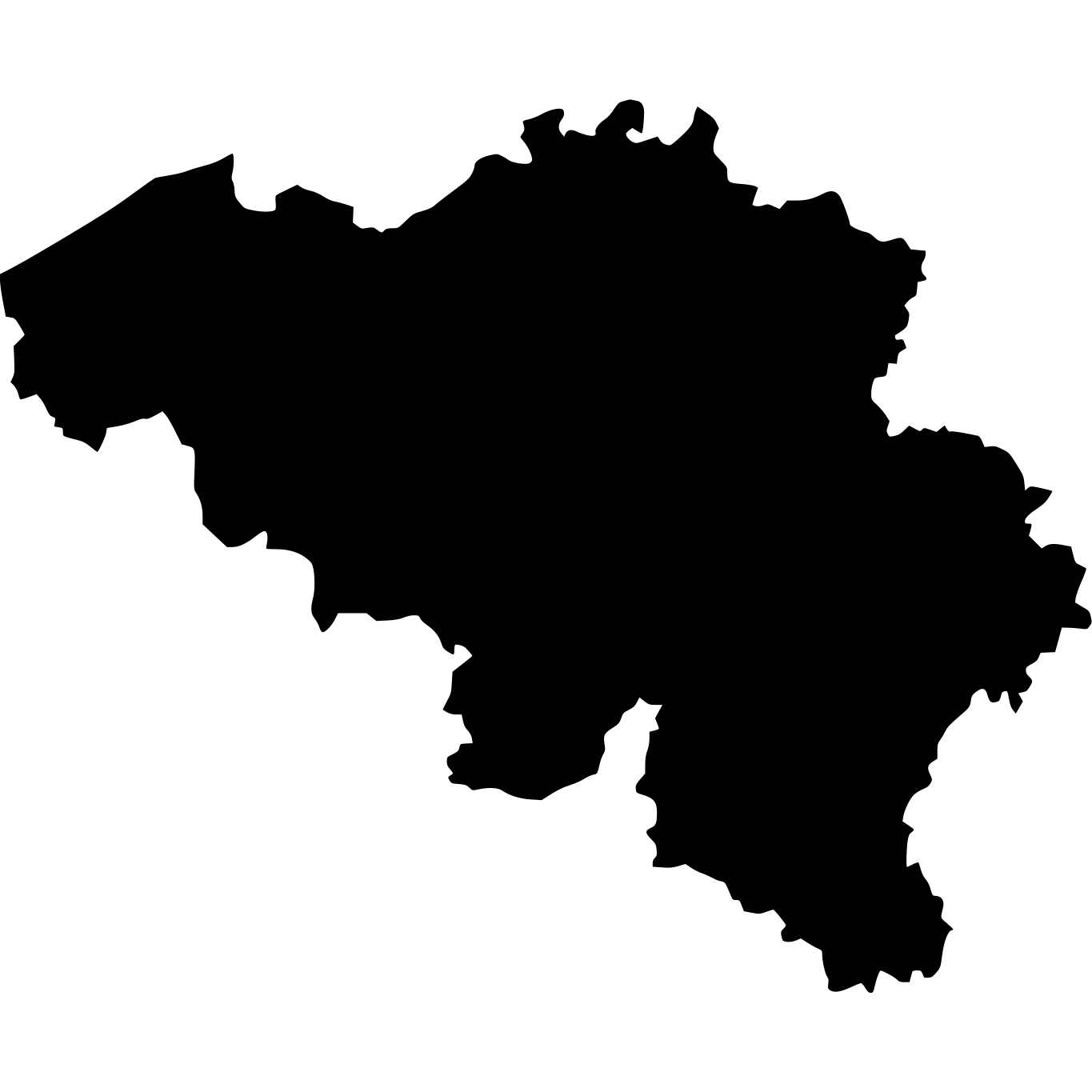
| Belgium | 30,528 km² (11,787 sq mi) | 170× larger |
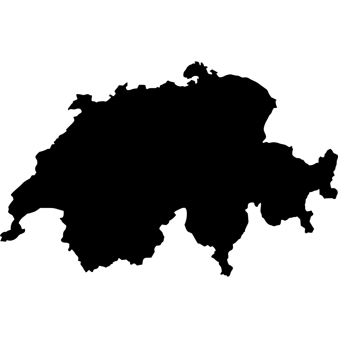
| Switzerland | 41,277 km² (15,937 sq mi) | 229× larger |
| Netherlands | 41,543 km² (16,040 sq mi) | 231× larger |
More Countries in North America


Explore Aruba
Aruba at a Glance
| Statistic | Value |
|---|---|
| Total Area | 180 km² (69 sq mi) |
| World Size Rank | #212 of 236 |
| Capital | Oranjestad |
| Population Density | 604 per km² |
| Population | 108,785 people |
| Coastline | 69 km |
| Life Expectancy | 76.5 years |
| GDP per Capita | $38,591 USD |