

How Big Is Afghanistan?
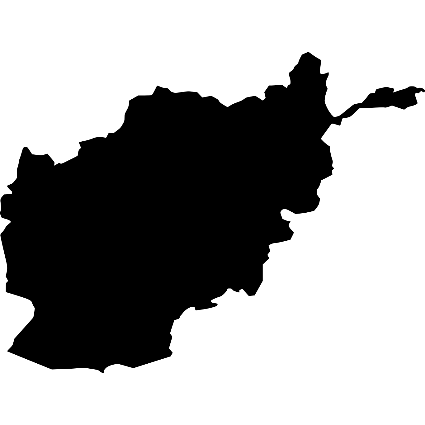
Afghanistan, located in South Asia, is the 41st largest country in the world, covering approximately 652,230 square kilometers (251,827 square miles). That's roughly the same size as Texas. It is home to approximately 43.8 million people.
Afghanistan
vs
Afghanistan on the Map
Afghanistan's Geography
Within Asia, Afghanistan is the 12th largest of 52 countries, sitting between Burma and Yemen. With 67 people per km², it is less densely populated than the Asian average of 1,006 per km².
How Far Across Is Afghanistan?
Afghanistan stretches approximately 1,013 km (629 mi) from north to south — roughly the distance from Chicago to New York, and 1,326 km (824 mi) from east to west — roughly the distance from London to Rome. At highway speeds, it would take roughly 15 hours to drive across.
How Many Times Does Afghanistan Fit?

Similar in Size



How Big Is Afghanistan Compared to Well-Known Places?
| Place | Area | vs Afghanistan |
|---|---|---|
| Montana | 376,979 km² (145,552 sq mi) | 42% smaller |
| Japan | 377,915 km² (145,914 sq mi) | 42% smaller |
| California | 403,882 km² (155,940 sq mi) | 38% smaller |
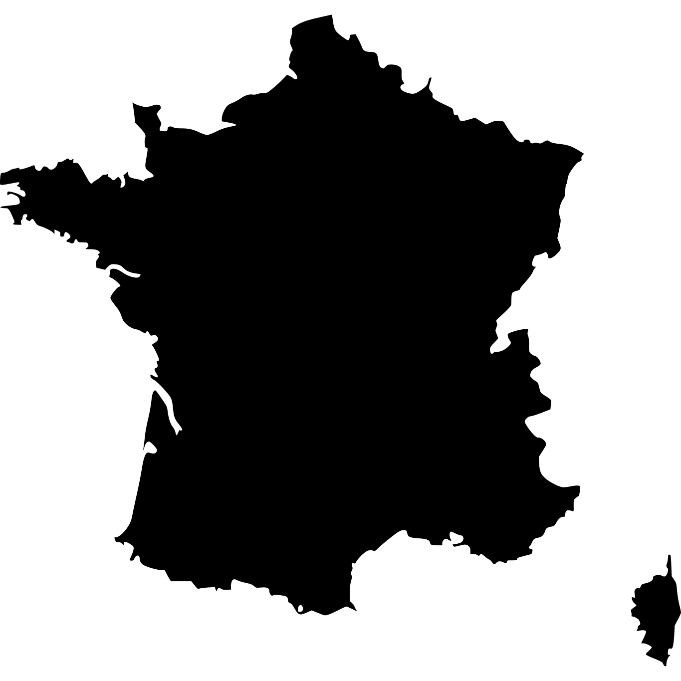
| France | 551,500 km² (212,935 sq mi) | 15% smaller |
| Afghanistan | 652,230 km² (251,827 sq mi) | — |
| Texas | 678,052 km² (261,797 sq mi) | about the same size |
| Alaska | 1,481,348 km² (571,951 sq mi) | 2.3× larger |
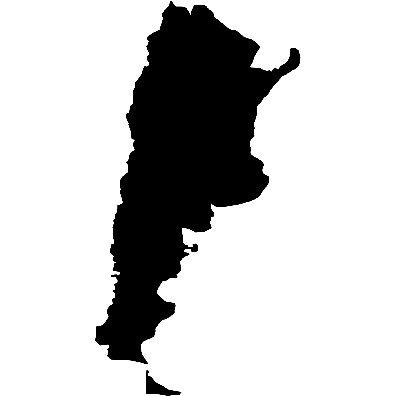
| Argentina | 2,780,400 km² (1,073,518 sq mi) | 4.3× larger |
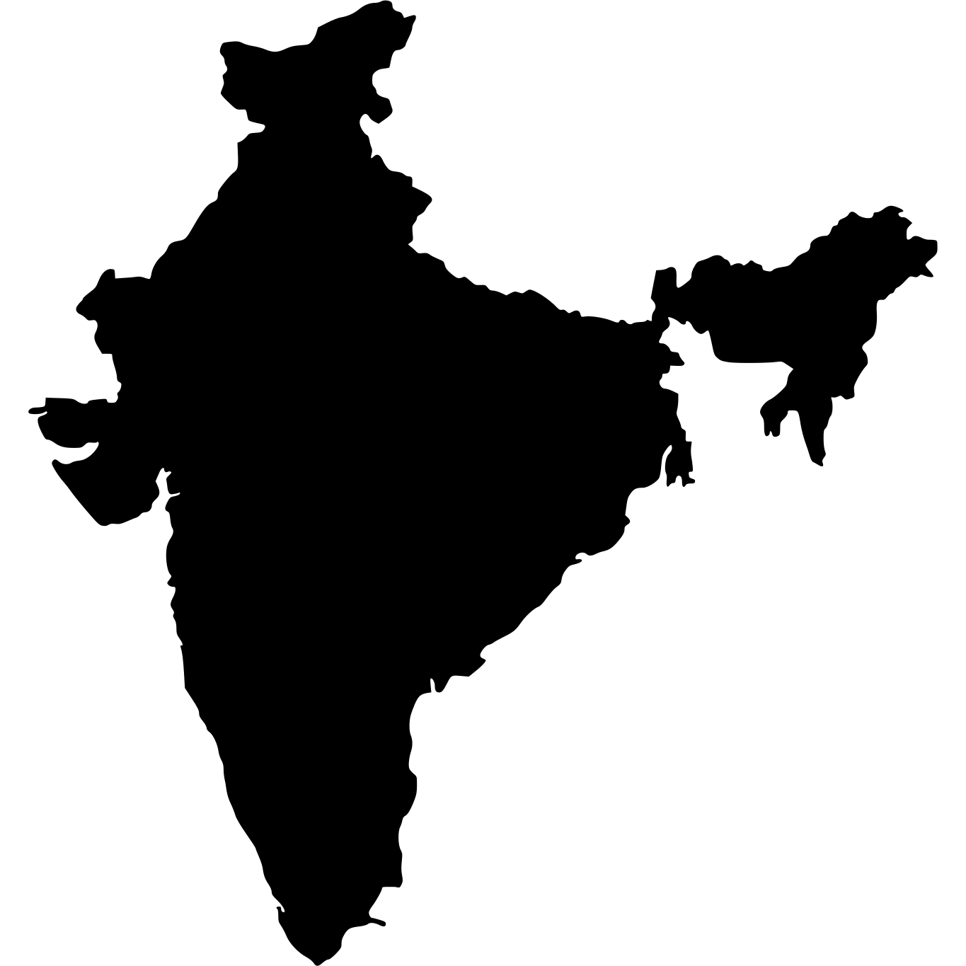
| India | 3,287,263 km² (1,269,219 sq mi) | 5× larger |
More Countries in Asia


Explore Afghanistan
Afghanistan at a Glance
| Statistic | Value |
|---|---|
| Total Area | 652,230 km² (251,827 sq mi) |
| World Size Rank | #41 of 236 |
| Capital | Kabul |
| Population Density | 67 per km² |
| Population | 43.8 million people |
| Coastline | 0 km |
| Life Expectancy | 66.3 years |
| GDP per Capita | $417 USD |